49.766350
0.373680
{"idArea":"26601","servizi":"18","posizioni":"3,8,11,16,20","numCommenti":"2","voto":"9.00","evidenza":"0000","lat":"49.766350","lng":"0.373680","cat":"1","nome":"Cap+Fagnet","comune":"F\u00e9camp","provincia":"Bretagna, Loira e Normandia","indirizzo":"Route du Phare","cap":"","descrizione":"Parking with 10 motorhome spaces on gravel, close to the tourist attractions of F\u00e9camp, no services.","tariffa":"Free","apertura":null,"phone":"","phone2":"","phone3":"","dintorni":"Port of F\u00e9camp, Notre-Dame-du Salut chapel, WWII bunkers, natural cliffs."}
Information
| Free |
| Opening period: Annual |
Description
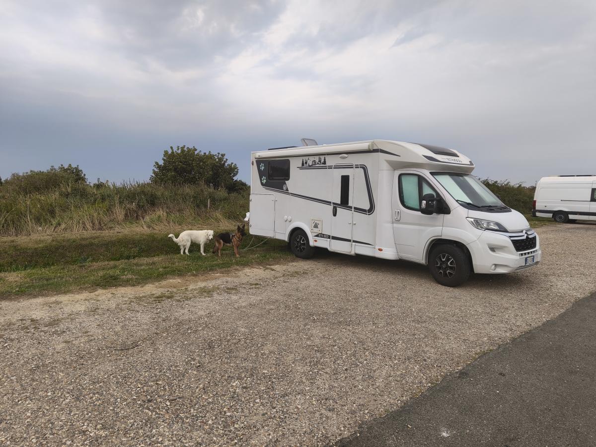
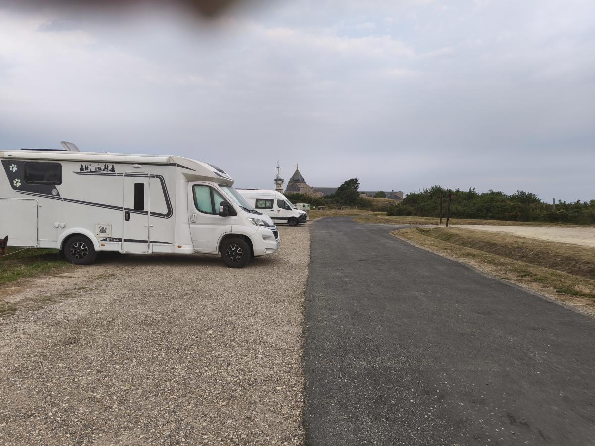
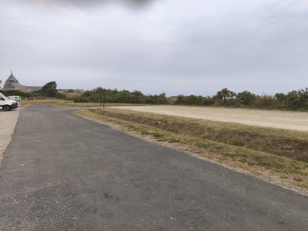
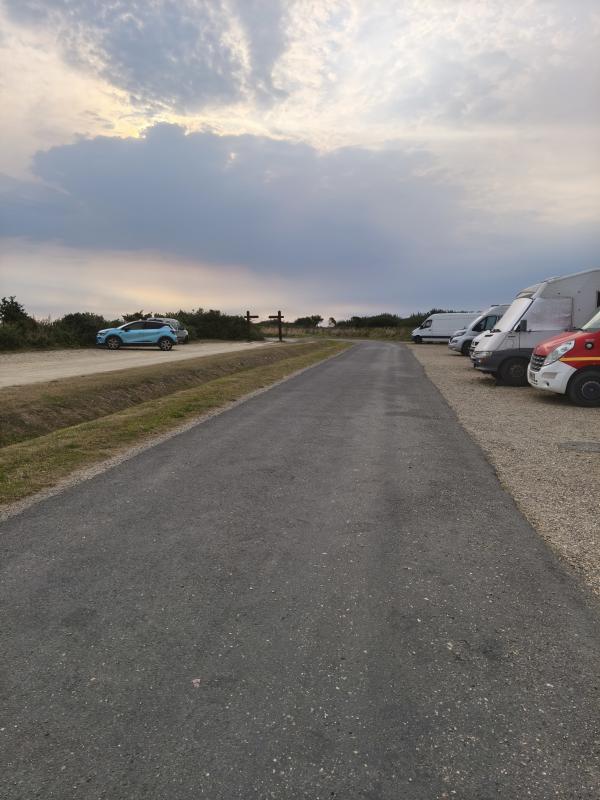
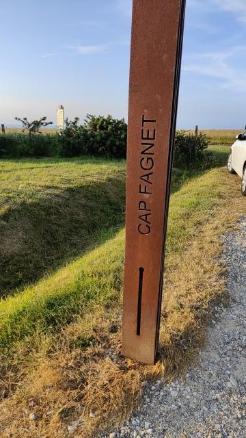
Parking with 10 motorhome spaces on gravel, close to the tourist attractions of Fécamp, no services.
Nearby
Port of Fécamp, Notre-Dame-du Salut chapel, WWII bunkers, natural cliffs.
Taken by you
User reviews





 App Camperonline